

I’ve always loved maps; navigating with them, reading them and using them in collages. Maps, like stamps were my first foray into virtual travel. I loved spinning the globe matching the names of places with their location in the world. Now I’m going to make maps of my local environment, starting with the wetland adjacent to my house.
Boorum Wetland is the name given to the chains of swampy bushland and waterways in Pottsville where I live. It’s going to be the site for my next project and I’ve been doing all the initial reading research about wetlands and swamps.
I didn’t realise that swamps have historically been considered to be dismal, dank, smelly places attracting rubbish dumping and disdain. Areas in Melbourne around Footscray which is now Melbourne docklands was once the site of ‘Dudley Flats’ where the underbelly of society lived. This attitude reflected that of the English aristocracy as the Thames in London was polluted with industrial waste. Clean water was not a priority in the quest for money and progress.
Much of northern New South Wales has small creeks, large rivers and flood plains which run into the sea. Many of these flood prone lands have been built on. As extreme climate events escalate rain and flooding, this has brought disaster to places such as south Murwillumbah, Chinderah and Lismore. Where once the swamps were filled with trees which help mitigate flood events; those sites were drained, filled in and sold off for housing and industrial sites.
It’s no wonder wetlands have been so undervalued in a landscape. It’s time for me to have a closer look at their beauty and find ways to explore that in my art. I’m proposing to map the wetland, using abstracted shape, colour and form to create my own types of maps.
First stop; a visit to the Pottsville Environmental Park. It had just rained and the trees were reflected in large puddles creating a mirror effect. Upside down trees, water drop spirals, irregular edges and bits of floating bark; all of these inspired my photographs of the area.
I will be printing out these photos and creating a grid collage of images which I will then translate into paper map drawings. It’s taking shape slowly as I begin. The trick will be to let it all find its own narrative to lead me forward.
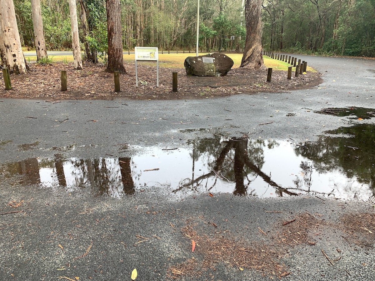
In context: the puddle in the Pottsville Environment Park